Log in
All resources
Create a design
11,660 Free Images of Old Map
pages with maps
cc-zero
maps by willem and johannes blaeu
ships on maps
coats of arms on maps
atlas novus (blaeu)
cc-pd-mark
old maps of delfland
nicolaas samuel crucquius
maps by hendrik hondius the younger
self-published work
pages with maps
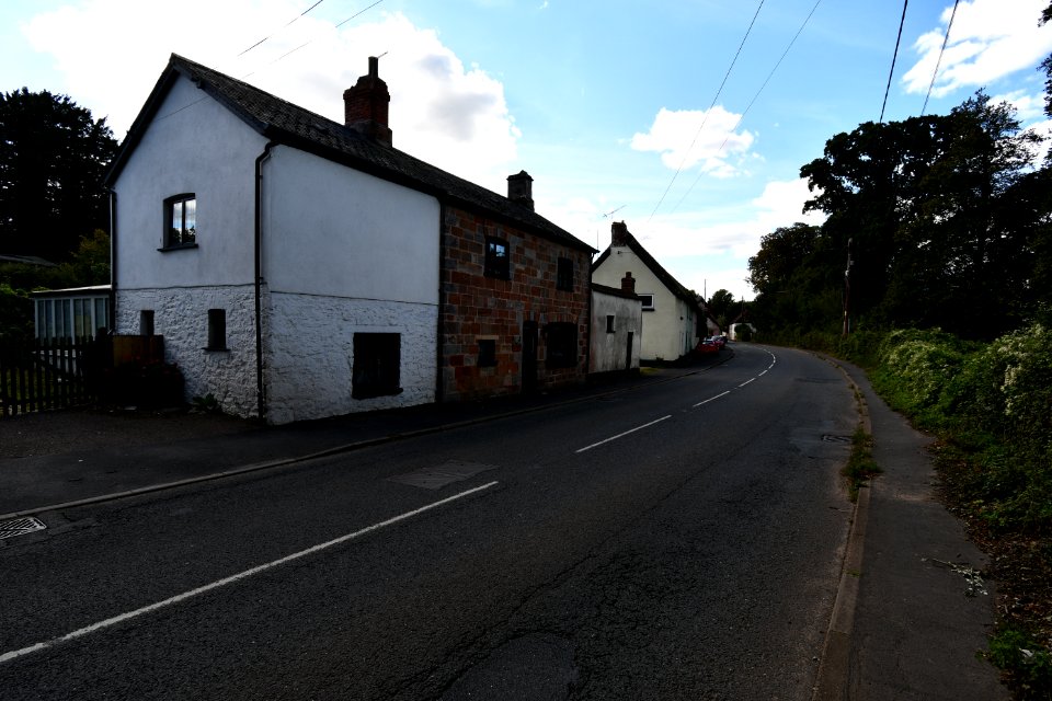
architecture
town
facade
town
architecture
town
pages with maps
cc-pd-mark
self-published work
pavement
pages with maps
cc-pd-mark
old maps of the sea of japan
rangaku
pd-old-100-expired
cc-pd-mark
self-published work
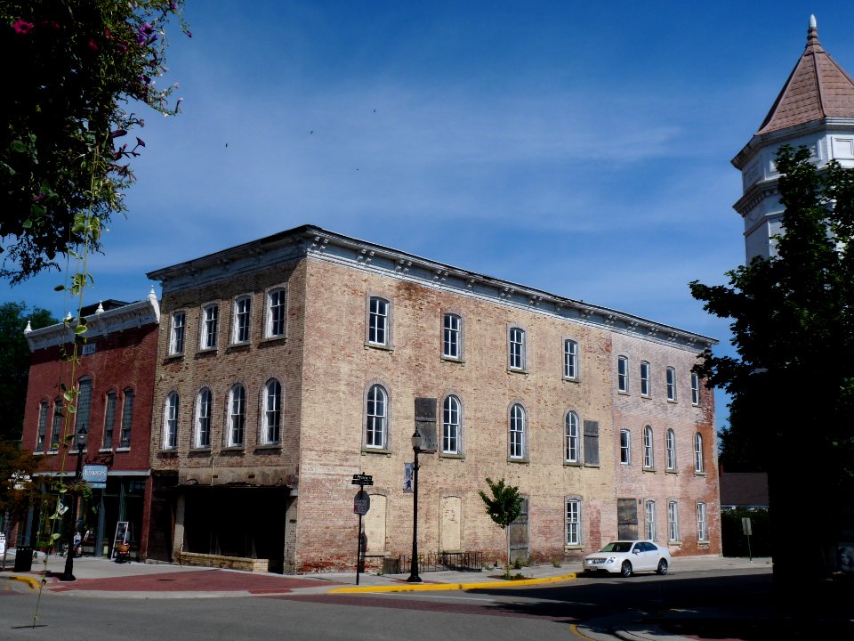
architecture
people
city
pages with maps
cc-pd-mark
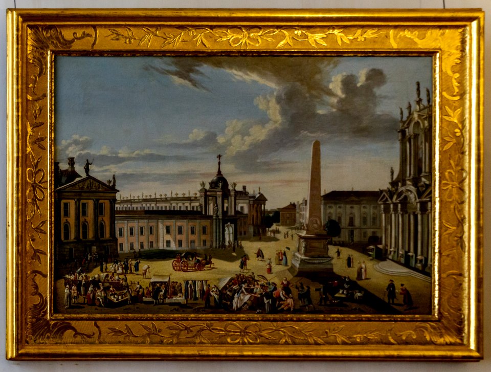
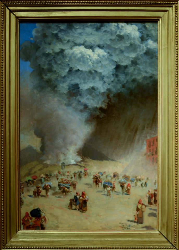
1872 paintings
cc-pd-mark
grass
lawn
self-published work
vehicle
old maps of venice
erhard reuwich
maps of the russo-japanese war
vladimir taburin
sanborn maps of manhattan published in 1904
old maps of west houston street (manhattan)
novus atlas sinensis
old maps of hunan
old maps of douarnenez
old maps of brest
john rocque's 1746 map of london
details of old maps of london
midden-delfland in the 18th century
maps of midden-delfland
maps from university of amsterdam special collections
atlas der neederlanden
willem cornelis van baarsel
old maps of haarlem
maps by willem and johannes blaeu
atlas van loon
old maps of flanders
copper engravings
media from the national library of finland
classicism
old maps of north-west frontier province
old maps of the punjab region
maps showing 19th-century history
19th-century maps of south asia
de nieuwe groote lichtende zee-fakkel (rijksmuseum)
maps in the rijksmuseum amsterdam
maps from the earth and its inhabitants, vol. vi
mean precipitation maps
old maps of the united states
copper engravings
old maps of the arctic
1645
old maps of the eastern mediterranean
catalan atlas
old maps of friuli-venezia giulia
maps of carniola
atlas maior, vol 11 (asia) - joan blaeu, 1667 - bl 114.h(star).11
17th-century maps of korea
old maps of cities in france
old maps of dunkerque
details from maps by gerardus mercator
maps by hendrik hondius the younger
17th-century maps of london
maps of old london (book)
old maps of the sea of marmara
catalan atlas
old maps of the viceroyalty of peru
old maps of peru
old maps of the united states
sanson maps of north america
old maps of shaanxi
animals on maps
1730s maps of south carolina
old maps of north america
1620s maps of france
old maps of provence
a plan of the operations of the king's army under the command of general sr. william howe, k.b. in new york and east new jersey, against the american forces commanded by general washington, from the 12th. of october, to the 28th. of november 1776
old maps of new york (state) from the norman b. leventhal map center
maps by willem and johannes blaeu
old maps of overijssel
maps from the earth and its inhabitants, vol. xii
old maps of guinea
old maps of the hague
old maps of delfland
1740s maps of the netherlands
maps of borculo
cornelis de jode
1578 maps
old maps of saxony from deutsche fotothek
1630s maps of saxony
1882 in london
port of london
18th-century maps of estonia
old maps of livonia
miniature speed atlas (1627) pieter van den keere
old county maps of anglesey
1590s maps of the world
cornelis de jode
turgot map of paris, kyoto university library – derivative files
palais du louvre on old maps
maps in the library of congress
fort lyon (virginia)
old maps of the polish-lithuanian commonwealth
17th-century maps of prussia
maps from university of amsterdam special collections
atlas der neederlanden
maps by willem and johannes blaeu
old maps of overijssel
charlotte brontë
branwell brontë
maps from the earth and its inhabitants, vol. vi
maps of journeys
media from the national library of finland
classicism
maps by willem and johannes blaeu
old maps of deventer
historical images of the jardin du luxembourg
historical images of luxembourg palace
17th-century maps of moscow
maps of the moscow kremlin
17th-century maps of belarus
magni ducatus lithuaniae
maps by thomas kitchin
andrew dury
bird's eye view of knoxville, tennessee, 1886
maps in the library of congress
old maps of french guiana
old maps of venezuela
bern city map of 1638 by matthäus merian
baroque
17th-century maps of the black sea
maps by willem and johannes blaeu
charles c. wood taylor
carlos wood
old maps of north brabant
maps of megen
maps of the history of palestine
1880s maps of palestine
maps of the county of flanders
county of zeeland
media from the national library of finland
classicism
media from the national library of finland
classicism
maps by willem and johannes blaeu
copper engravings
spanish-language maps
1785 maps
old maps of lake constance
old maps of swabia
danubius pannonico-mysicus
1720s maps of transylvania
parts of old maps of hamburg
steintor (hamburg)
atlas de jacoubet, bibliothèque historique de la ville de paris
collège stanislas (paris)
maps in the rijksmuseum amsterdam
published by frans buffa & zonen
maps by willem and johannes blaeu
old maps of friesland
old maps of the hague
old maps of delfland
catalan atlas
mansa musa
18th-century maps of the ottoman empire
old maps of kurdistan
16th-century maps of the netherlands
16th-century maps of belgium
maps of districts of lower saxony
steinfurt in the 1640s
old maps of fictional countries
old maps of new zealand
cartes de franz schrader
1894 maps of france
old maps of the danube in budapest
gerard jollain
old maps of north holland
old maps of kennemerland
eran laor cartographic collection
maps by tomas lopez
russian empire in thomas kitchen's general atlas (1773)
general atlas (1773)
1640s maps of brazil
georg marggraf
maps in the british museum
maps facing southeast
6801 - 6900 of 11,660
Next page
/ 117